
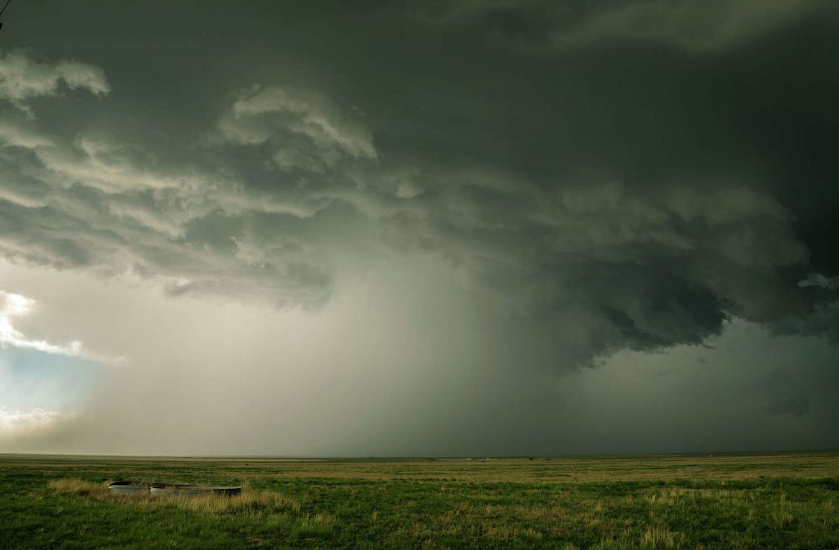
A significant shift in regional weather patterns is poised to deliver long-awaited relief to the northernmost portions of Texas, as meteorologists track an advancing cold front that promises to generate widespread showers and severe thunderstorm activity across the combined Panhandle region. While residents in the northern high plains prepare for a welcome break from persistent summer warmth, the broader meteorological picture across the state remains sharply divided, with Central Texas continuing to endure oppressive, near-record temperatures.
According to short-term and extended outlooks published by the National Weather Service, the week is opening on an uncomfortably hot note throughout both the Texas and Oklahoma Panhandles. Early in the weekly cycle, daily high temperatures are projected to climb steadily into the 90-to-100-degree range, continuing a prolonged stretch of above-normal heat that has dominated the region for weeks.
However, atmospheric conditions are slated to undergo a notable transition as the week advances. Forecasters anticipate that a slow-moving cold front will gradually track southward across the plains, systematically eroding the lingering heat dome and depressing afternoon temperatures. By the time the boundary fully establishes itself over the region toward the latter half of the week, daytime maximums across most of the Panhandles are expected to drop back toward 80 degrees.
The most pronounced cooling is scheduled to arrive just in time for the upcoming weekend. The National Weather Service expects widespread afternoon highs on Friday and Saturday to settle comfortably into the low to mid-80s. This transition represents a drastic and welcome departure from the preceding couple of months, which were heavily defined by daily temperatures sitting well above normal seasonal baselines.
Alongside the downward trend in temperatures, the incoming frontal system is transporting substantial atmospheric instability and moisture into the area. Weather service meteorologists have indicated that medium to high probabilities of showers and thunderstorms will accompany the front, developing both directly along the leading edge of the boundary and within the cooler air mass trailing behind it.
Daily forecast models show that precipitation is favorable for various portions of the combined Panhandles throughout every single day of the workweek. Forecasters at the National Weather Service noted that the elevated percentages published in their daily graphical forecasts reflect regional probabilities encompassing both the Texas and Oklahoma Panhandles.
Meteorologists took care to clarify that these regional metrics do not guarantee that every single town or county will experience downpours on a continuous basis. Rather, localized convective activity will vary, meaning that while not every specific location will see daily rainfall this week, the general setup remains highly favorable for widespread, beneficial moisture across the Panhandle territory as a whole.
For communities across the northern plains, the arrival of this wet and noticeably cooler pattern marks a pivotal break in the prolonged warm season. Having endured months of unrelenting, well-above-average heat day after day, the return of low-to-mid-80s temperatures alongside regular chances for storm development offers a major respite for outdoor workers, agricultural operations, and local residents alike.
In stark contrast to the impending relief scheduled for the north, Central Texas—including the major population hubs in and around the San Antonio metropolitan corridor—remains trapped under an unrelenting thermal ridge. For these central regions, near-record heat is expected to persist uninterrupted well into next week, with little immediate hope of receiving the cooling benefits of the northern front.
Daily conditions across Central Texas are forecast to feature afternoon highs climbing into the upper 90s, with several localized areas frequently reaching into triple-digit territory. This sustained blast of late-season heat maintains severe thermal stress across urban and rural environments, keeping daytime temperatures uncomfortably elevated through the foreseeable future.
Exacerbating the intense raw temperatures, high atmospheric moisture content across Central Texas will elevate heat index values to dangerous levels. The National Weather Service projects that feels-like heat index figures could surge as high as roughly 110 degrees, creating prolonged periods of dangerous heat that elevate the risk of heat exhaustion and heat stroke for those without adequate cooling.
Rainfall opportunities across the southern and central sectors of the state will remain exceptionally sparse during the first half of the week. Weather officials observe that rain chances are beginning the period at very low percentages over the coastal plains, offering virtually no natural cooling or moisture to offset the high daytime heat.
Forecasters do note a potential, albeit gradual, change in the Central Texas precipitation outlook toward the tail end of the workweek. The National Weather Service indicated that chances for rainfall could begin to expand and increase over a larger number of areas by Thursday and Friday, though confidence remains measured regarding any widespread temperature relief.
As the week progresses, the state of Texas will find itself squarely divided between two completely different atmospheric regimes. While the northern Panhandle benefits from a steady transition toward autumnal temperatures and recurrent thunderstorm activity, Central Texas must continue to navigate dangerous, near-record heat and oppressive humidity before any broader seasonal shifts take hold.








(0)