
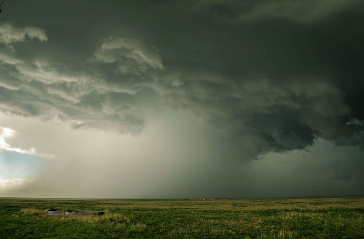
A weak cold front tracking across the state is set to trigger a multi-day stretch of unsettled weather, delivering heavy downpours, frequent lightning, and localized severe conditions to several regions of Texas on Thursday, September 10, and Friday, September 11. National meteorological experts indicate that while the boundary may provide a brief reprieve from late-summer conditions in select areas, it will also generate notable convective storm activity.
The approaching frontal system is forecast to influence weather patterns from the High Plains down through North and Central Texas. Although the front lacks the intense chill of late-autumn systems, the contrast it creates in the atmosphere will be sufficient to support multiple rounds of rain and thunderstorms over the two-day period.
In North Texas, meteorologists at the National Weather Service forecast office serving Fort Worth and Dallas are monitoring a significant potential for convective development. Forecasters project a 40% to 60% probability of scattered showers and thunderstorms developing across the region on both Thursday and Friday as the boundary settles into the area.
While a substantial portion of these North Texas storms will produce standard hazards such as frequent cloud-to-ground lightning and gusty surface winds, regional forecasters have explicitly warned the public to remain vigilant. The atmospheric profile presents a tangible risk of isolated damaging wind gusts capable of causing localized property disruptions and blowing down tree limbs.
Further south, the impact of the cold front appears far more fragmented. The National Weather Service expects Central Texas to experience a more limited window of precipitation, placing the likelihood of isolated showers and storms at roughly 10% to 30% throughout the lifespan of the weather event.
Meanwhile, the Texas Panhandle is confronting some of the most dynamic atmospheric activity associated with the frontal passage. Early Thursday morning, meteorologists at the National Weather Service office in Amarillo began tracking widespread thunderstorm clusters that brought substantial rainfall accumulations and intense lightning displays across the northern plains.
Weather officials emphasized that the morning activity was merely the opening phase of an active weather day for the Panhandle. Meteorologists cautioned that secondary pulses of thunderstorms remain highly likely to ignite during the afternoon and evening hours on Thursday, carrying the potential to generate more substantial impacts.
According to the area weather discussion published by the Amarillo forecast office, there is an ongoing, low-probability chance for some of these developing cells to become strong to severe. When fully formed, these localized severe storms will be capable of unloading torrential rain, triggering damaging downdrafts, and producing large hail.
Forecasters noted that the most intense thunderstorm clusters in the Panhandle are projected to focus primarily within the central and southern corridors of the territory. Communities located in these zones have been urged to monitor radar updates closely, as severe cells could develop rapidly along remnant outflow boundaries.
In an early morning update posted to social media, the National Weather Service in Amarillo clarified the delicate atmospheric balance governing the evolving forecast. Meteorologists explained that while the greatest overall coverage of rain was expected during the morning hours, the degree of subsequent atmospheric instability would ultimately dictate the intensity and coverage of later storm rounds.
The ongoing cloud cover and widespread precipitation will offer temporary daytime cooling across the Panhandle on Thursday. Widespread daytime highs are anticipated to hover in the comfortable 80s across the region, serving as a brief break from the intense heat typical of September.
However, meteorologists pointed out that this cooling will not be uniformly distributed. In communities where morning storms dissolve more rapidly and allow skies to clear, intense daytime solar heating could quickly propel afternoon temperatures upward, inching readings closer to the 90-degree mark before late-day storms redevelop.
The relief offered by this weak frontal boundary will be exceptionally short-lived across the entire state. By Friday, the cooler air mass is slated to erode rapidly as high-pressure conditions begin to reassert dominance and draw hotter air back into the region.
Forecasters in Amarillo project that hot conditions will make a decisive return heading into the weekend. As dry, scorching air overtakes the Panhandle once again, weekend afternoon temperatures are heavily favored to surge back into the triple digits, with maximum readings climbing into the 100s.
A similar warming pattern will establish itself across the rest of the state once the front completely washes out. Temperatures throughout North and Central Texas are forecast to remain at above-normal levels through the upcoming weekend and persist well into next week, with daytime highs consistently holding in the 90s.
Ultimately, the weak cold front serves as a reminder of the volatile nature of transitional September weather in Texas. While the system delivers beneficial moisture and a fleeting drop in temperatures, residents across the Panhandle and North Texas must navigate localized risks of large hail and damaging winds before intense heat firmly reclaims the forecast.







(0)