
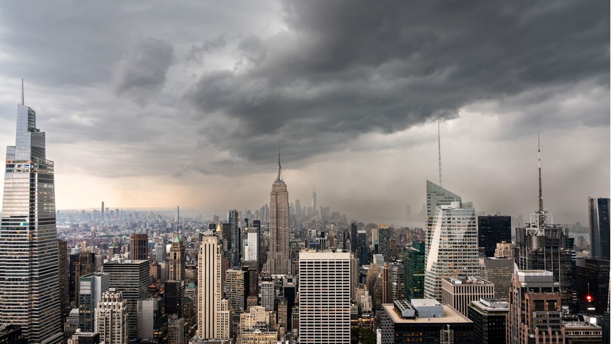
Municipal authorities across New York City have placed emergency protocols into full effect as severe morning thunderstorms bring the threat of rapid flash flooding, prompt widespread travel delays, and trigger aviation ground stops at all three major regional airports.
A regional Flood Watch remains active through noon on Sunday, covering the five boroughs as powerful storm bands pass over the metropolitan area. The turbulent atmospheric conditions have already severely disrupted regional transit networks, causing aviation officials to issue ground stops halting flight operations at John F. Kennedy International, LaGuardia, and Newark Liberty International airports.
In anticipation of the dangerous deluge, city administrators took preventive action on Saturday evening by opening 51 overnight emergency shelters. These specialized facilities were established primarily to offer safe, dry refuge to vulnerable residents, particularly those who live in subterranean living spaces, basement apartments, and other below-grade residential units that face severe inundation risks during rapid downpours.
To ensure that emergency lodging remains accessible to all affected community members, municipal officials confirmed that domestic pets and trained service animals are welcome at every designated shelter location across the city.
According to meteorological forecasts, the most hazardous window for severe precipitation and sudden flash flooding spans the early morning period between 5:00 a.m. and 10:00 a.m. on Sunday. Emergency planners highlighted that this critical timeframe creates additional danger because the heaviest rainfall coincides with the hours when most residents are still asleep and less aware of rapidly shifting outdoor conditions.
The National Weather Service projects that the storm will deposit cumulative rainfall totals between 1.5 and 3 inches across the five boroughs. Forecasters noted that the most intense accumulations are expected to concentrate over eastern Brooklyn and Queens, though localized pockets across the metropolitan area could experience even higher totals before the system departs.
Meteorological data indicates that rainfall rates could reach between 1 and 2 inches per hour during peak activity, with the strongest thunderstorm cells capable of dumping up to 2.5 inches of water within a single 60-minute window. Such extreme rates routinely surpass the intake capacity of urban infrastructure, leading to rapid water accumulation on street surfaces.
City officials did not wait for the rain to begin before taking structural countermeasures. NYC Emergency Management formally activated the municipal Flash Flood Emergency Plan on Thursday, initiating coordinated preparations across several public agencies to mitigate potential urban damage.
In the days and hours leading up to the storm's arrival, municipal utility and maintenance crews worked extensively across vulnerable corridors to clear debris from street catch basins. Emergency personnel and specialized response equipment were also strategically prepositioned in flood-prone sectors to respond immediately to localized emergencies.
Mayor Zohran Mamdani urged the public to exercise extreme caution and maintain situational awareness throughout the morning. The mayor highlighted the distinct perils faced by residents occupying ground-level and below-grade residences, directing them to identify accessible exit routes prior to sleeping and to remain prepared to evacuate to higher floors should water begin entering their homes.
Mamdani also cautioned morning motorists to allow substantial extra time for travel and underscored the essential safety rule of never attempting to drive a vehicle through flooded roadways. In addition, the mayor asked New Yorkers to check on vulnerable neighbors and reminded the public that real-time emergency text updates are available by sending the message "NOTIFYNYC" to 692-692.
NYC Emergency Management Commissioner Christina Farrell sounded a similar warning regarding the swiftness with which intense rainfall can overwhelm street-level drainage. Farrell emphasized that severe downpours can completely submerge roadways within minutes, noting that the heaviest rainfall rates of 2 to 2.5 inches per hour are projected during the early morning hours.
Farrell strongly advised that residents living in vulnerable environments must not wait until they see floodwaters actively rising before enacting an emergency safety plan, as rapid water intrusion leaves very little time for safe evacuation once initiated.
City officials reiterated that the primary physical hazards include heavy road ponding along with isolated to scattered flash floods. The greatest risks are concentrated in historically flood-prone neighborhoods, highway underpasses, low-elevation terrain, and urban districts characterized by poor or overburdened drainage systems.
Weather conditions are projected to show gradual improvement beginning Sunday afternoon as the storm complex pushes eastward past the city limits. Despite the expected tapering of rain, emergency personnel caution that standing water and residual flooding may persist on roadways for several hours following the storm's departure.
Officials continue to remind all New Yorkers to stay clear of submerged streets, ensure personal communication devices remain fully charged, continuously track local weather alerts, and assist friends and family members who may require physical aid. Residents experiencing immediate, life-threatening danger are instructed to contact 911 without delay.






(0)